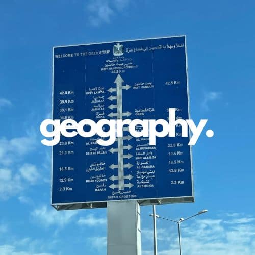
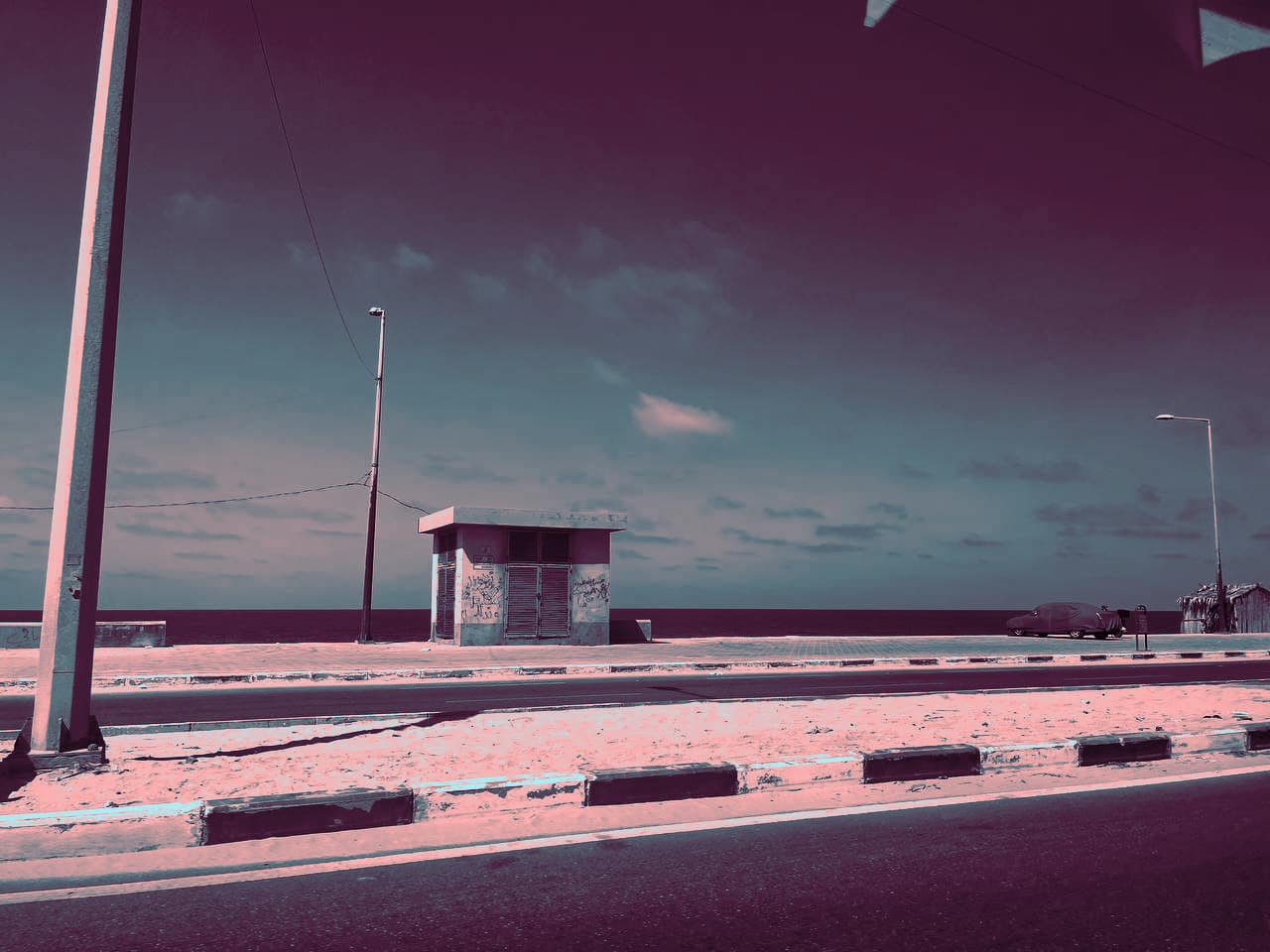
Despite essentially being cut off from the rest of the world, Gaza is a beautiful location geographically. Beyond its nature, it also has a unique artificial geography unfamiliar to most non-Gazans.
The Gaza Strip is 140 square miles (363 square km) in size. It is situated along the Mediterranean Sea just northeast of Egypt’s Sinai Peninsula. The entirety of the Strip is situated on a relatively flat coastal plain.1

As for Gaza’s artificial geography, the Strip is split into five govenates. While the existence of governates in Palestine predates the signing of the Oslo Accords, they were incorporated into the Palestinian National Authority (PA)’s administrative structure with the signing of the Accords in the 1990s.2 The occupied West Bank and Gaza Strip were divided into 16 governorates under the jurisdiction of the PA. As previously noted, the Gaza Strip was and remains divided into 5 governorates: North Gaza, Gaza, Central Gaza, Khan Younis, and Rafah. Unbeknownst to the majority of the world, each governate has its culture and signature specialties.
North Gaza
North Gaza is Gaza’s northernmost governorate, which borders Israel and the Erez crossing in particular. North Gaza consists of three municipalities, two rural districts, and one refugee camp. Known for its agricultural produce, North Gaza is famous for its Gazan strawberries, particularly from Beit Hanoun. Before 2005, Gaza was actually a major exporter of strawberries and the delicious Gazan strawberries even made their way to Europe.3 Jabalia, a city in North Gaza, hosts the Strip’s largest refugee camp, the Jabalia Camp, which is renowned for its Friday horse races. Additionally, Beit Lahia in the north is home to one of Gaza Strip’s largest hospitals, the Indonesian Hospital.
Gaza
The Gaza Governorate, oftentimes called “Gaza” is a common source of confusion as its name resembles those of the Gaza Strip and Gaza City, both of which are also sometimes called “Gaza” for short. While the Gaza Strip refers to the entire besieged territory, the Gaza Governate is the second largest and most populous of Gaza’s five governates. Gaza City is the largest and most populous city within the governate of Gaza.
Gaza Governate is approximately 27 square miles (70 square km) while Gaza City is 17 square miles (45 square miles). Remal, the City’s main district, was always known for its popular malls, shopping centers, and restaurants. Remal was Gaza City’s upscale neighborhood, which can be compared to what North Americans call “downtown,” while the Old City serves as Gaza’s historic core. The Old City was known for its landmarks–among them, the ancient Great Omari Mosque, which was initially constructed in the 5th century, and the Saint Porphyrius Church, which is thought to have been the third-oldest church in the world.4
The Gaza Governorate has thirteen districts, including Shujaiyah, Zaytoun, Tuffah, and others. Notable landmarks in Gaza City include the Rashad Al-Shawwa Museum and Gazan Public Library and major hospitals like Al-Shifa. The city is also home to several universities, including the Islamic University of Gaza and Al-Azhar University. The Palestine Stadium popularly hosted weekly soccer matches, while attractions like the Gaza Port, Care4 (NOT associated with Carrefour which should be boycotted), and Remal’s Capital Mall draw visitors to the bustling city.
Central Gaza
Sometimes also called “The Middle Area,” “Wustah,” or “Deir Al-Balah,” Central Gaza is the middlemost of Gaza’s five governorates. Its administrative capital is Deir Al-Balah, which is recognized for its tranquil atmosphere and abundant date palms, reflected in the city’s name which literally means “Monastery of the Date Palm.” The region of Central Gaza boasts a variety of agricultural produce, including citrus fruits, almonds, pomegranates, and grapes. Deir Al-Balah also features a modest fishing industry and houses one of the Gaza Strip’s four wharfs. Stereotyped as being a peaceful place with easy-going folk, it is a running joke that people here like their daytime naps and are especially generous, peaceful, and kind.
Khan Younis
Moving on to Gaza’s southern governorates, Khan Younis is the largest governorate in terms of landmass and emerges as a prominent urban center with the governorate and administrative capital both sharing the same name. The second largest urban area in the Gaza Strip following Gaza City, Khan Younis serves as a pivotal market hub, hosting a weekly Bedouin souq that predominantly deals in local goods. Renowned for its guava production, the region’s economy revolves around agriculture, with staple crops including watermelons, figs, palms, apricots, and legumes. With a societal fabric deeply rooted in tribal structures, various aspects of daily life in Khan Younis and its surrounding areas are influenced by such constitutions.
Rafah
Rafah is Gaza’s southernmost governorate. Sharing a border with Egypt, Rafah is home to the Rafah Border Crossing, the premier land crossing through which humans cross into and out of the Gaza Strip. Rafah is anchored around its capital, Rafah City.
The Rafah Governate is historically significant as it was the site of the Yasser Arafat International Airport, or the Gaza International Airport, which operated briefly from 1998 to 2001 before being destroyed by IOF bombings and bulldozing. Rafah stands as a symbol of both resilience and adversity. Refugees constitute approximately 80% of Rafah’s population, underscoring the enduring impact of displacement within the region.
References
- Encyclopædia Britannica, inc. (Last updated: 2024, April 29). Gaza Strip. Encyclopædia Britannica. https://www.britannica.com/place/Gaza-Strip ↩︎
- ECFR. (n.d.). Governorates. Mapping Palestinian Politics. https://ecfr.eu/special/mapping_palestinian_politics/governorates/ ↩︎
- Almeghari, R. (2020, January 10). International report – how strawberries and other crops provide for locals in Gaza and beyond. RFI. https://www.rfi.fr/en/international/20200110-how-strawberries-and-other-crops-provide-locals-gaza-and-beyond ↩︎
- Lakritz, T. (n.d.). Photos show Gaza’s Church of Saint Porphyrius, one of the oldest churches in the world, after the complex was damaged by Israeli airstrikes. Business Insider. https://www.businessinsider.com/israel-gaza-war-church-airstrikes-damage-2023-10#the-church-of-saint-porphyrius-located-in-gaza-city-gaza-is-thought-to-be-the-third-oldest-church-in-the-world-1 ↩︎
